


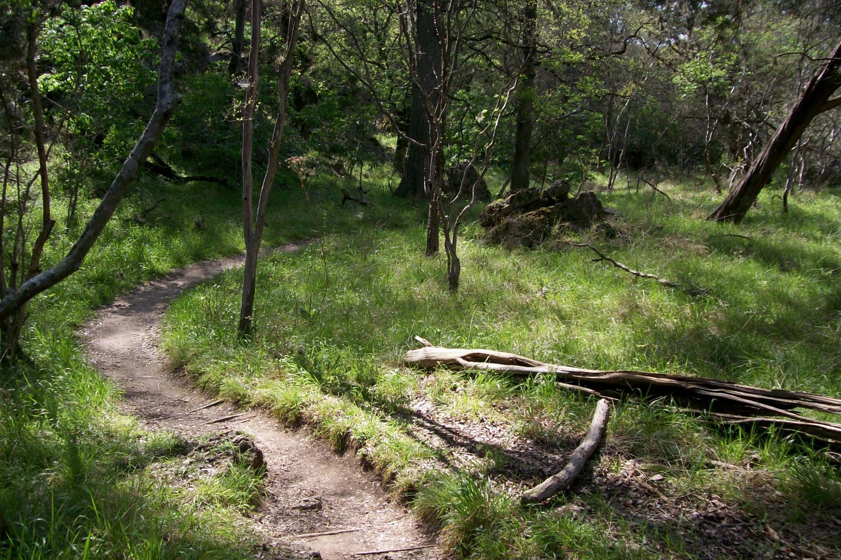
Texas is getting its very own long-distance cross-state thru trail thanks to one ambitious outdoorsman with a vision. The Cross Texas Trail (xTx) would extend 1,500 miles from Orange to El Paso, winding along some of the Lone Star State’s most scenic landscapes, passing towns and many historical sites, gaining roughly 56,000 feet in elevation along the way.
The nonprofit organization behind the xTx describes it on its website as “the future Pacific Crest Trail of Texas.”
Veteran trail hiker, bike-riding adventurer, and Texas native Charlie Gandy is leading the charge in establishing the xTx. The former Mesquite and East Dallas resident first had the idea when he was hiking the Tahoe Rim Trail (TRT) in June 2024.
He saw the power that cross-state trails had to connect people, uplift communities, and transform the individuals on them. He was a few days into his hike when it hit him.
“I could see a route across [Texas],” Gandy told GearJunkie. “I just wasn’t sure how I was going to get it done at that point.”
While people could technically hike the route now, Gandy hopes to have it officially established in the near future. At that point, it will be open season for thru-hikers, bikers, and horse riders who want to traverse the state of Texas by trail.
Currently, he’s asking for help from hikers, bikers, and equestrians who can help “ground proof” sections of the trail. Then, in spring 2026, Gandy intends to thru-hike the entire trail himself, and he’s inviting anyone to join him on the adventure.
xTx: The Pacific Crest Trail of Texas
Gandy graduated from the University of Texas and worked under the governor before starting several businesses of his own. He’s a serial entrepreneur, but he also has a history in the nonprofit world. He founded BikeTexas.org, the first statewide bike advocacy group in Texas. Now, he’s also founded xTexas.org.
In his spare time, he’s also an avid and fairly accomplished hiker. “I’ve hiked all of the fourteeners in Colorado and almost all of them in California and elsewhere,” he told me.
He revealed his plans for the xTx at the Texas Trails and Active Transportation Conference in September. He called the initiative kind of a wild ride, but said the response from both the hiking community and most of the locals he’s heard from has been positive.
“This is a big, hairy goal that I get to undertake,” Gandy said. “It kind of has a life of its own.”
The trail will be a mix of singletrack and about 40% gravel roads. It will showcase the diverse environments, scenic landscapes, and cultural variety that span the largest state in the contiguous U.S.
Gandy also hopes the xTx will draw visitors who will bring business to the communities it passes through. “It’s a new opportunity to have a different type of customer in town,” he said.
Gandy’s nonprofit, xTexas, is working to get the route officially established and recognized by the state. In true Texas style, he’s already got an “xTx” iron he intends to brand fence posts with as trail markers.
Crossing Texas: No Easy Endeavor
Texas is not only the largest state in the U.S., but it also has more privately owned land than any other state. That has made designing the route somewhat challenging for Gandy. He knows that it will change as he starts having more conversations with counties, towns, and private landowners.
Still, his initial route finding was done simply using Ride with GPS, mapping different scenarios with his targets in mind. So far, he said, he’s ground-proofed much of the eastern portion of the trail. But he still needs help. That’s why he’s asking for assistance.
“Right now, we’re still looking for ground-proofers with expert skills in hiking, mountain biking, and horse riding,” Gandy wrote on the website. “This means that you are the type that can fully support your own water, food, and shelter needs without any resources for help.”
At present, Gandy said, several sections of the trail lack water, food, and shelter for as much as 80 miles. That’s a big part of what he needs help with right now. The xTx website profiles several ground-proofers who are already helping him define the trail. If you want to become one of them, you can reach out to Gandy through the xTx website.
“In some cases, it’s very attractive for hiking; in some cases, it’s not. In some cases, it’s really attractive to ride a bike, and in other cases, it’s impossible,” he said. Those are the on-the-ground kinks he’s working out now.

xTx Thru-Hike: The Route
Miles 0-200
The xTx eastern trailhead is in Orange, La., on the border. From Orange, it heads to Pine Forest and trends north. It crosses the Neches River, passes through Wildwood and Goodrich, and arrives at Lake Livingston.
From there, it continues due east to Waverly and Sam Houston National Forest, and on to Navasota, which is almost 200 miles on the nose from Orange.
Those first 200 miles meander along bayous. Many of the towns you pass through are small, with Cajun influence. From there, it enters the rolling hills north of Houston.
Miles 200-500
From the 200-mile mark, the trail starts passing through historic towns where travelers can stay in bed and breakfasts or local hotels. The trail heads southwest, traversing La Grange and then passing between Houston and Austin. At mile 367, you cross Interstate 35, and the trail starts to become less flat.
The xTx thru-hike then approached Canyon Lake and Baldy Mountain near Canyon City. Then, the trail once again turns due east toward Comfort (the town). Hikers will then cross the Guadalupe River and summit Bandera Pass before connecting with the Medina River, which they’ll parallel until mile 490, at Tuff, Texas.

Miles 500-1,200
Again, the xTx turns south, now toward Utopia, and then Davenport Hill, turning north at mile 552. The trail winds up to Barksdale, over to Devil’s River State Natural Area, and on to Sanderson.
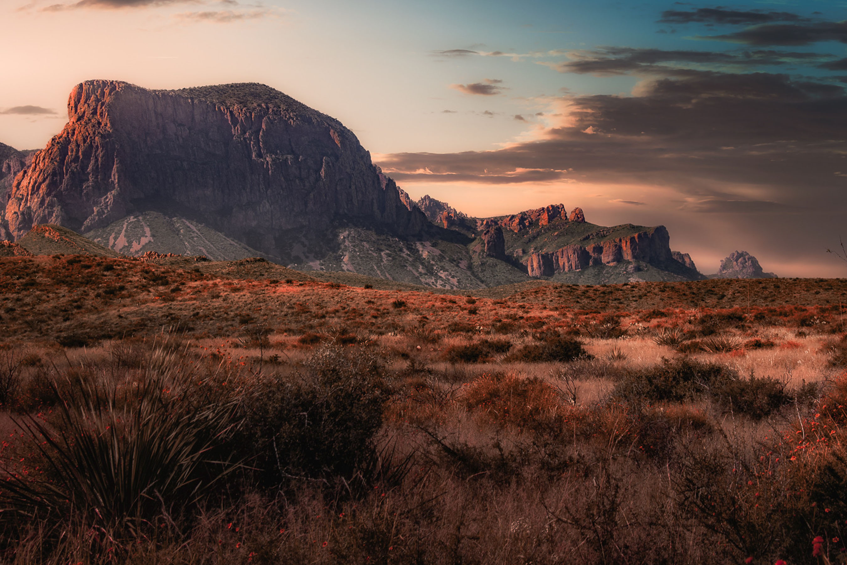
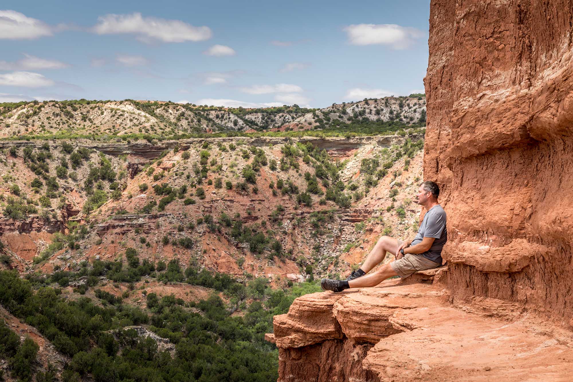
After that, the xTx enters one of Texas’s most visited natural areas, Big Bend National Park. The trail takes hikers through the park and exits from the northwest corner toward Marfa.
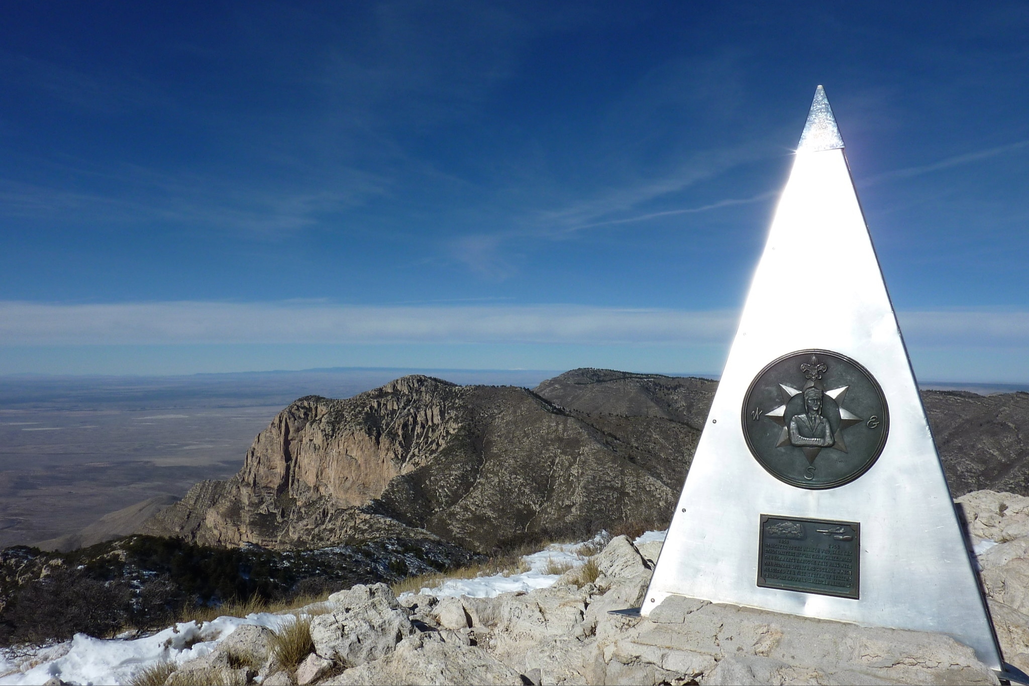
From there, the trail approaches its largest ascent to the highest point along its length. Passing through 6,205 feet near the McDonald Observatory. It continues northward toward Guadalupe Mountains National Park. If you want to summit Texas’s highest point, Guadalupe Mountain, this is your chance.
The Home Stretch
The last 200 miles dip up into New Mexico, crossing the border twice as hikers make their way along the home stretch to the trail’s western terminus in El Paso, Texas.
That’s the general route, according to Gandy. It’s still evolving as he and others ground-proof the trail. But he’s getting closer. By spring 2026, he intends to traverse the entire Lone Star State on the xTx. If he can successfully do it, he’ll be the first thru-hiker to complete the route.
If you want to see the most up-to-date route, check out the xTx webpage showing Gandy’s map.
Getting xTx Thru-Hike Across the Finish Line
Gandy hoped to have the entire route defined and the trail officially established by spring 2026, when he embarks on the first attempted thru-hike of the xTx. Indeed, this undertaking is “big and hairy,” as Gandy said.
But the payoff could be a grand Texas legacy, something that locals will use to get outdoors and exercise and that will draw different kinds of tourism to some of Texas’s smaller, off-the-beaten-path communities.
He’s contributed $10,000 of his own money and raised $10,000 more, but he says he still needs around $30,000 to complete this project within his timeframe. On the xTexas website, you can learn more about his progress and plan, and donate to the nonprofit.
“It’s fun what’s unfolding here,” he said. “I’m glad that the community is responding the way they are.”
xTx Thru-Hike: Regional Breakdowns & Highlights
Eastern Piney Woods to Hill Country
Ecosystems
If you start east and hike west, your journey will begin in the Eastern Texas Piney Woods ecosystem. This region is akin to what you might expect to find in Louisiana, parts of Oklahoma, or Arkansas.
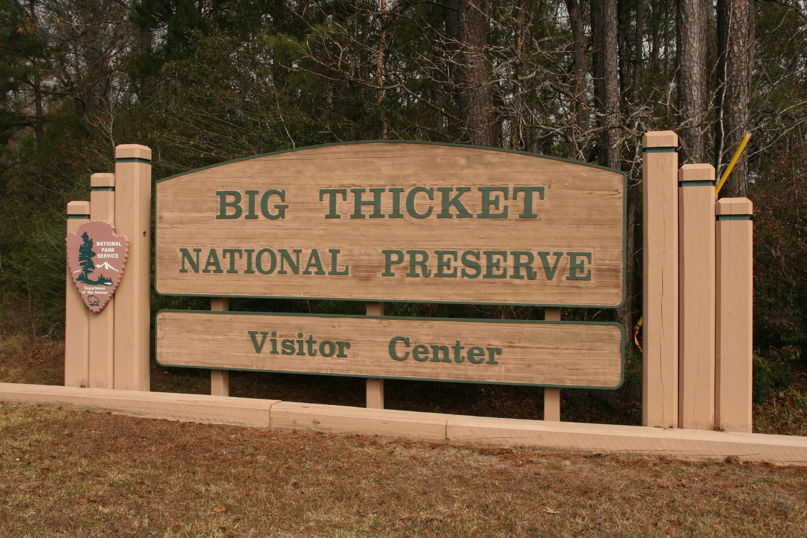
Big Thicket National Preserve, north of Beaumont, Texas, is a great place to see this kind of natural environment. There is an access point just 25 miles into the xTx thru-hike.
The rolling hills of this area are dominated by pine, oak, sweetgum, and black tupelo trees. Hikers will undoubtedly see squirrels, opossums, rabbits, and even snakes.
Towns
Many of the towns hikers pass through along this section of the hike will have a Cajun influence because of its proximity to Louisiana. You’ll find plenty of BBQ joints and Blue Bell ice cream shops along the way.
Wildwood is a very nice (largely gated) community. It offers many recreation opportunities, as it’s close to Lake Kimball and Big Thicket National Preserve. The lake in town has a manmade beach and beach volleyball courts.
Coldspring is another notable town you’ll pass through, right after Lake Livingston. Like many in Texas, it’s a small community and serves as the seat of San Jacinto County. Not far away, you can access Sam Houston National Forest, where you can find campsites and dispersed camping.
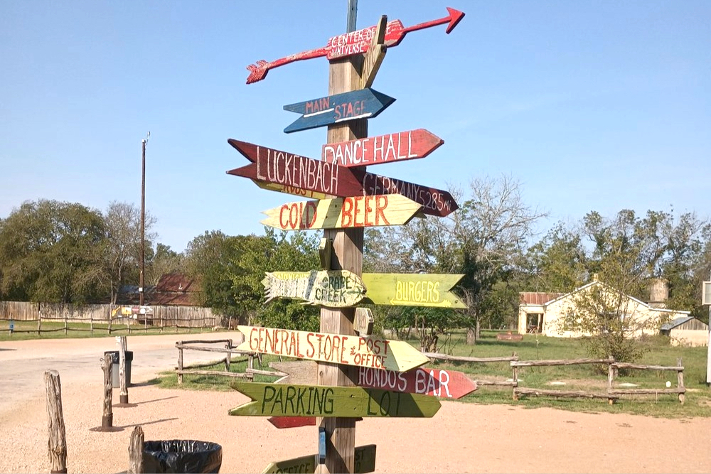
Navasota is the last town of note within the first 200 miles. It’s considered the “Blues Capital of Texas” and is a great place to catch some live music. This is where Texas declared its independence from Mexico, and it is full of historic buildings and churches.
Central Hill Country to Big Bend
Ecosystems
Texas Hill Country sits atop what’s geologically known as the “Edwards Plateau.” This limestone formation is distinguished by its deep canyons, rocky hills, caves, and freshwater springs.
Hikers will pass through grasslands, juniper and oak woodlands, and savannas dominated by oak and mesquite. Autumn sage, yucca plants, and succulents are endemic to the area and grow plentifully. Keep your eyes open for Texas tortoises, which are also known to roam the area.
Towns
La Grange is the first big town of note that hikers will pass through on this section. You may recognize the town’s name from the classic ZZ Top song. Or, maybe you’ve seen the play The Best Little Whorehouse in Texas, which was based on the town’s historic Chicken Ranch Brothel. Chicken Ranch closed in 1973, but you can still visit the landmark just a few miles outside of town.
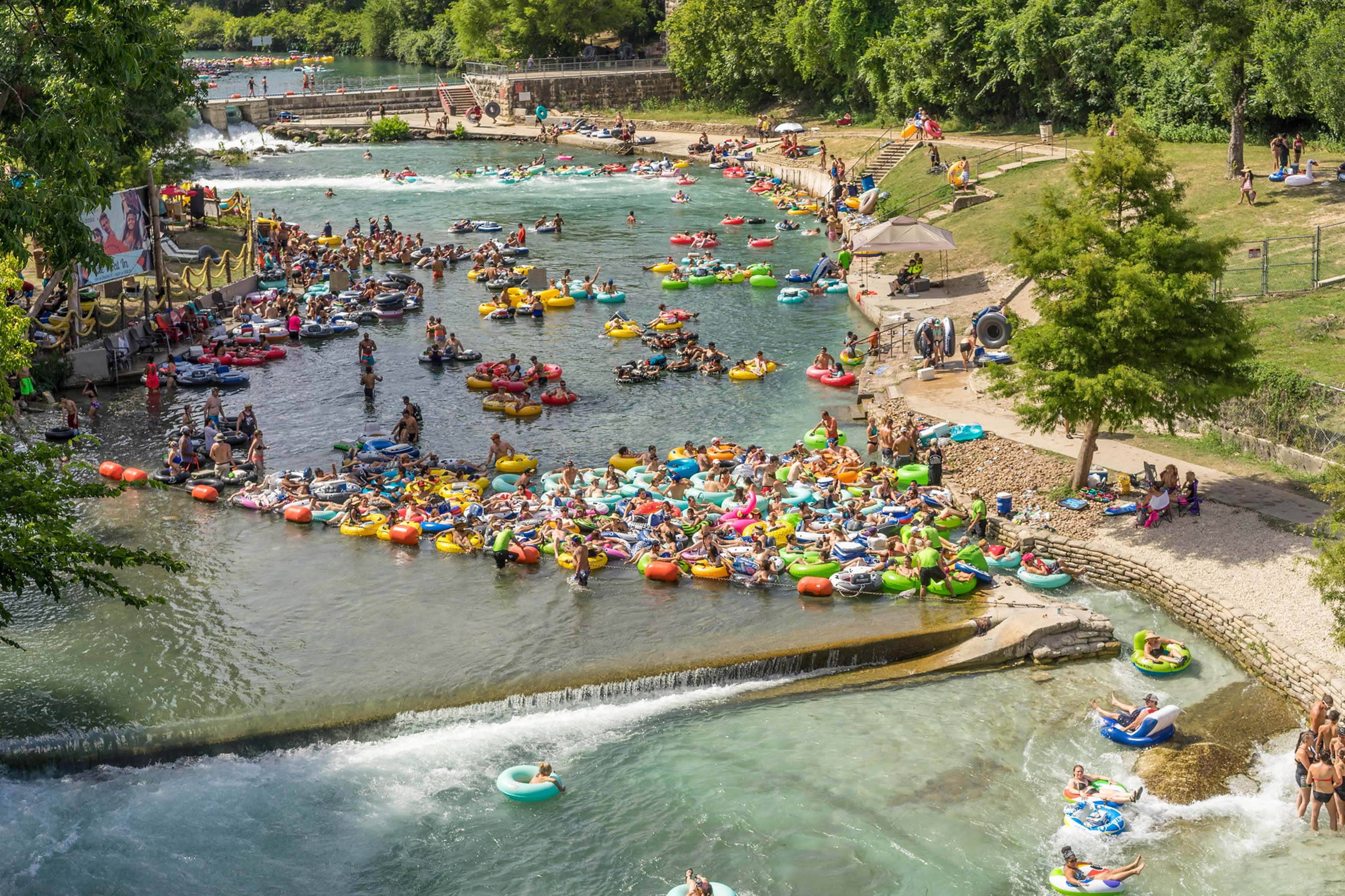
New Braunfels is next up, a German-influenced town of around 110,000 people. It celebrates its German-founded heritage with events like Wurstfest and monuments like Gruene Hall. There’s even a waterpark named Schlitterbahn Waterpark. It’s located on the Comal and Guadalupe Rivers, making it a popular place for outdoor recreation activities like paddleboarding, tubing, and kayaking.
Comfort is another German-influenced town along this section of the xTx route. People know it for antique shopping and wine tasting (a potentially dangerous combination). Much of Comfort’s downtown is designated as a National Historic District, and many of the buildings are over 100 years old.
One of the last towns of note hikers will enter along this section is Sanderson, Texas — also known as “the Cactus Capitol of the World.” It is primarily a ranching and railroad community at the confluence of three separate ecological zones. Its natural ecology lends itself to hundreds of different types of cacti (hence the town’s nickname).
Western Desert Section & Big Bend
Ecosystems
Once you pass beyond Sanderson, you’re squarely in the Chihuahuan Desert, where mountain and desert ecosystems converge. Hikers will find grasslands, shrublands, and forests. The temperatures swing wildly, from scorching hot days to chilly nights. You need to be prepared for heat and plan ahead to avoid getting into dangerous situations (more on this later).
The Chisos Mountains near Big Bend National Park abut the Chihuahuan Desert and offer a slightly cooler and wetter climate and environment. There are many hiking trails scattered throughout the Chisos; however, most require a car to access. If you’re thru-hiking the xTx, they would make for a long detour.
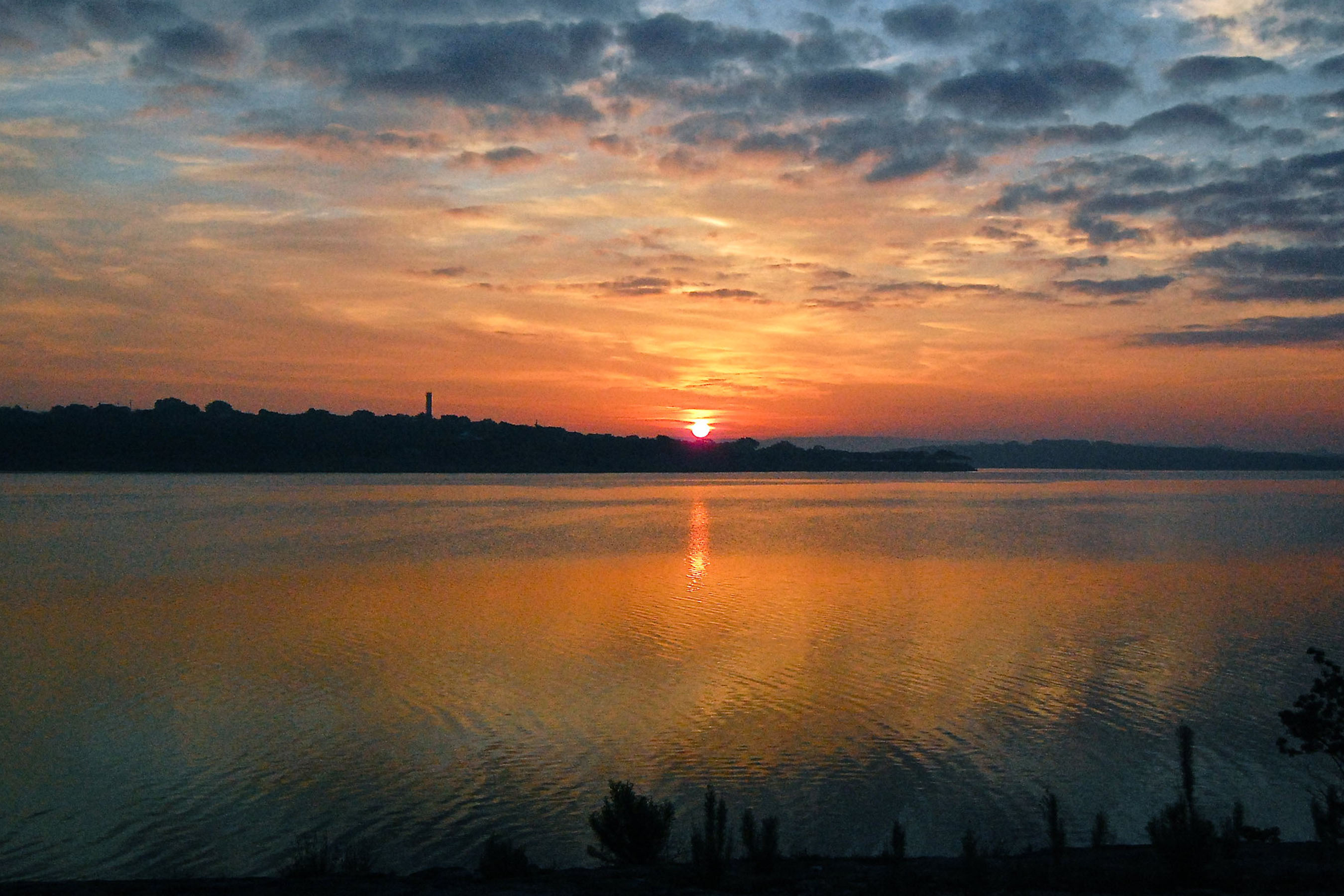
Finally, the Rio Grande River ecosystem is lush with vegetation and attracts many animals (and insects) to its shores. This is one of the most important water sources in western Texas, and the xTx follows it for roughly 30 miles through Big Bend National Park. Along this section, there are numerous access points where hikers can dip into the river.

Towns
Marfa is the first town you’ll pass through after you exit Big Bend National Park and start working north toward El Paso. It’s worth a stop if you like quirky desert communities. Not only is the town known for its minimalist art scene, but it’s perhaps most famous for the “Marfa Lights” or “Marfa Ghost Lights.” These unexplained illuminations have been witnessed since the 1800s and still lack explanation today.
If you’re into military history, Fort Davis isn’t far from Marfa, and the xTx passes right through it. It’s home to one of the oldest and best preserved Frontier Military Posts in the American West. The University of Texas McDonald Observatory is also there, which hosts regular events and special viewing nights for the public.
The final Texas town on the east-to-west xTx route is El Paso, right on the border with Mexico. Known as the “Boot Capital of the World,” this would be a great place to treat yourself to some new kicks, in celebration of your 1,500-mile accomplishment. El Paso is also known for its Tex-Mex cuisine, which is regarded as some of the best in the west.
What to Bring on the xTx Thru-Hike
Packing for a 1,500-mile hike across numerous ecosystems, desert climates, and everything from cities to national parks is no small task. It will require planning, list-making, unpacking, repacking, trial and error, and in the end, there’s a big chance you’ll end up having left something you wish you brought. Such is the plight of adventure.
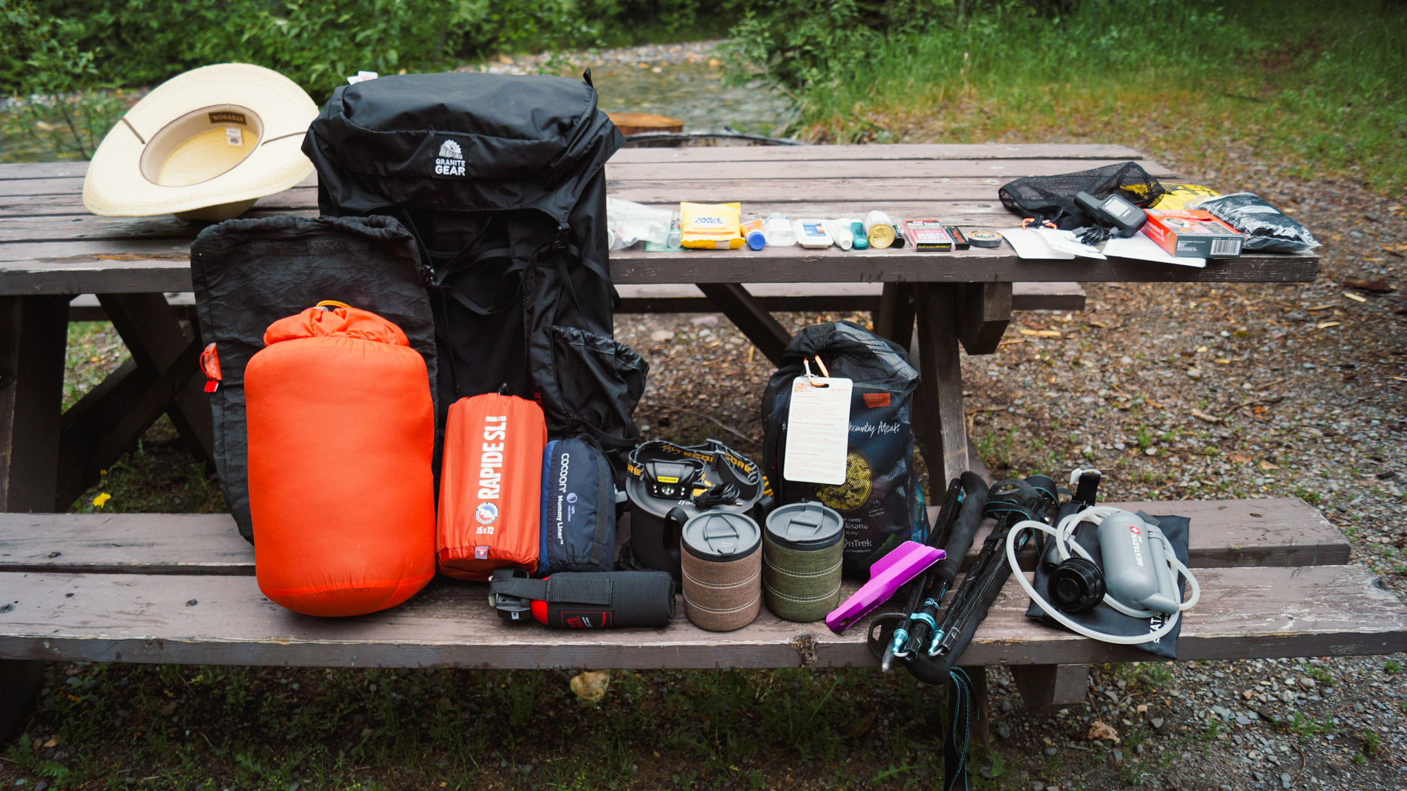
Rest easy, though. GearJunkie put together the following packing list, tailored for the xTx trail.
This is a great starting point, but it is not comprehensive. We encourage hikers to riff off of this list and customize it to their needs and hiking habits. It is not an ultralight list — subtract or add gear as needed.
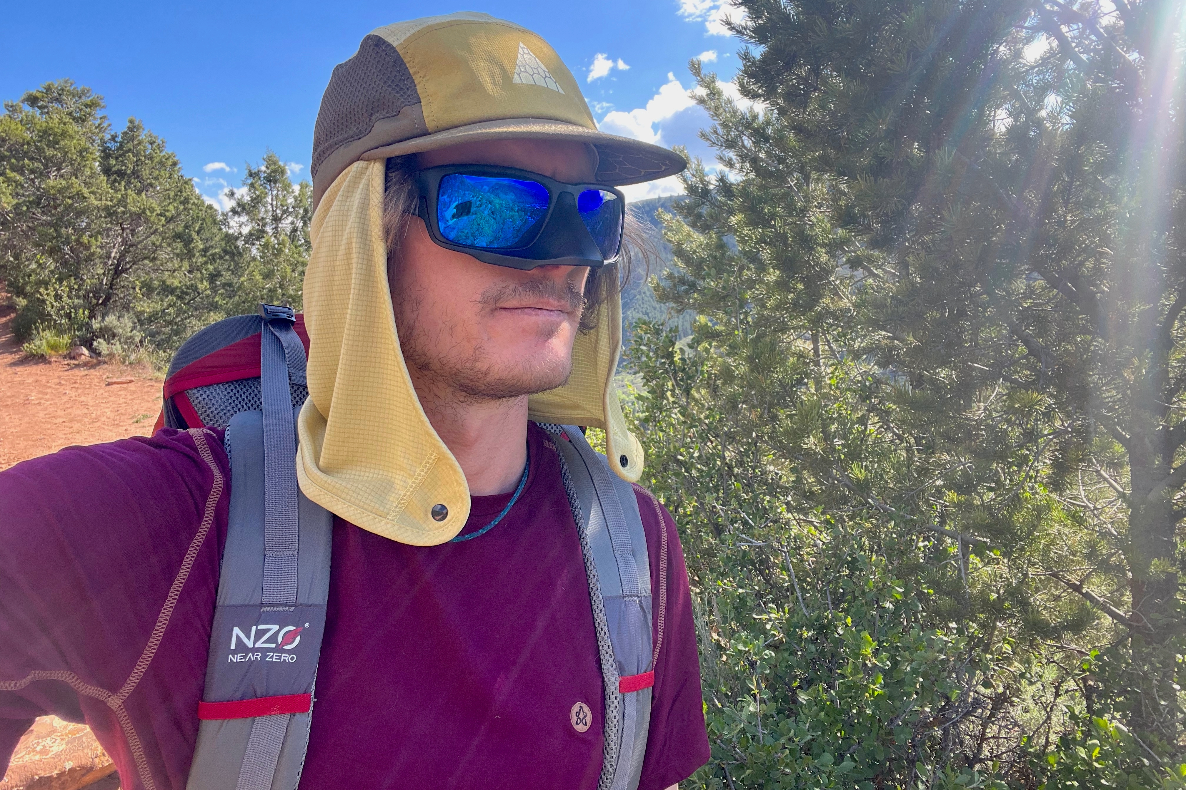
Clothing
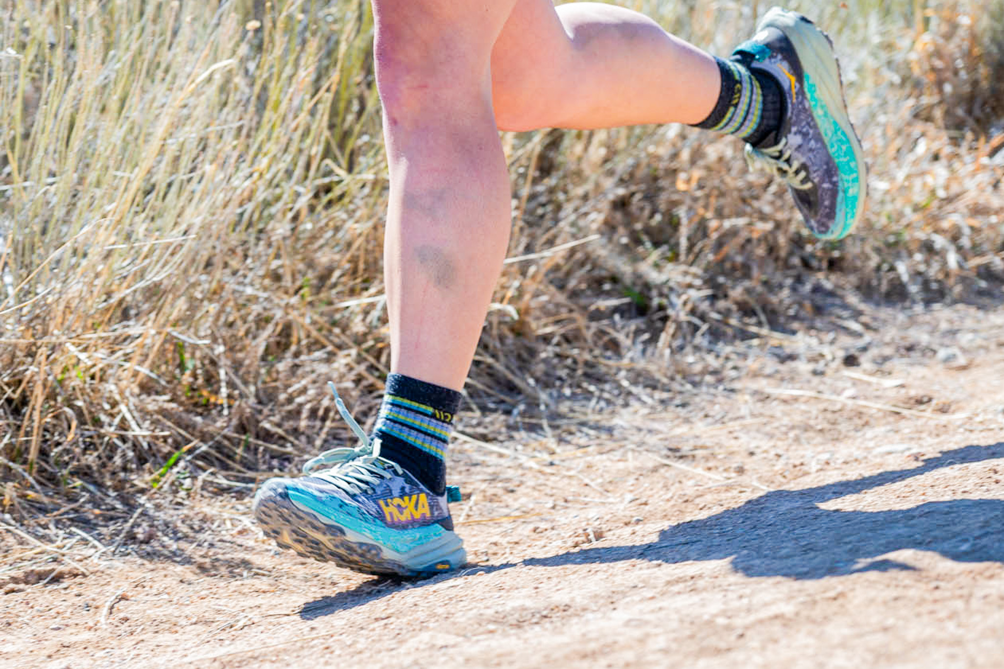
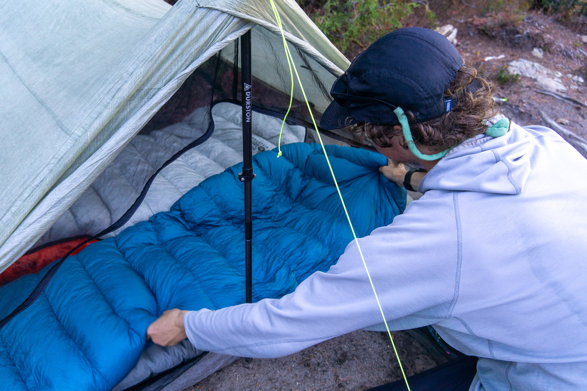
Gear
Hazards on xTx Thru Hike
Every thru-hike brings its own unique challenges. But we aren’t going to sugarcoat this for you: The xTx is a perilous hike. Not just because of its length and the long, remote stretches, but because of the harsh climates, the creatures, and the proximity to the Mexican border at certain points.
Despite the fact that you might be sleeping in hotels or B&Bs many nights, this is not an undertaking for the faint of heart. What follows is a list of hazards that hikers should be aware of before setting out on the trail.
Heat & Hydration

The number one biggest challenge to thru-hiking the xTx is going to be heat. Texas is a hot place, and there are stretches of this trail that lead through some very desolate and historically very hot regions. Some of these stretches might be safer to hike at night or in the early morning.
If you’re hiking during the day, make sure you’re prepared with enough water and have refill points mapped out. Wear sun protection, and stay alert for the symptoms of heat exhaustion, like headaches, dizziness, cool, clammy skin, muscle cramps, and rapid heart rate.
Gandy is explicit on the xTx website about when people should (and should not) attempt this trail.
“The route is not designed for thru-hiking, biking, or horse riding in late spring, or summer ever. Full Stop,” he writes on the website. “It’s designed for late fall, winter, and early spring. We’re not sure how to make this any clearer.”
Snakes & Insects
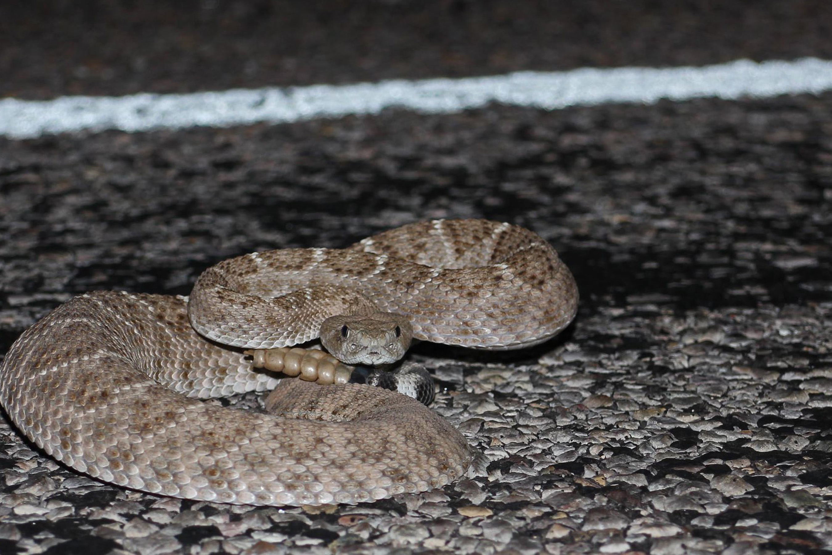
In the eastern portion of the xTx, you should keep your eye out for poisonous cottonmouth snakes. As you get deeper into the desert environment, you’ll have to keep an eye (and ear) out for rattlesnakes.
Both of these snakes can be fatal if you are bitten, and hospitals are few and far between for long stretches of the xTx trail.
Insects can pose just as big a hazard. Mosquitos in eastern Texas can be brutal. Scorpions and tarantulas are not uncommon in the desert. There are widow spiders, Chinese red-headed centipedes, wasps, kissing bugs, brown recluse spiders, red ants, and many other poisonous insects that call Texas home.
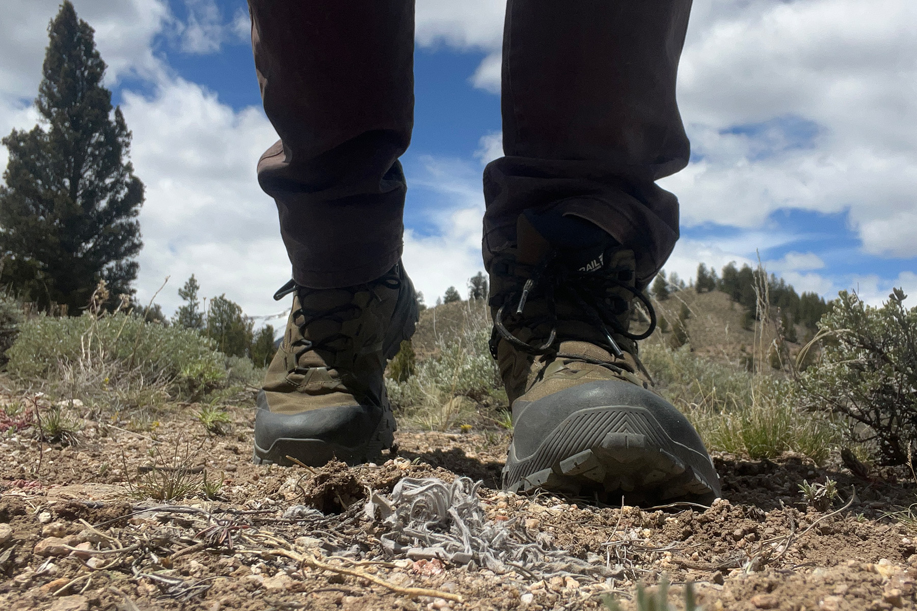
Shake your boots out before putting them on in the morning. Be wary when overturning stones or sticks. Generally, just stay alert and aware.
People
Of course, people are always the most dangerous hazard when you’re hiking long distances. Much of this hike follows roads and highways — be wary of strangers offering rides, and keep your guard up if you stop in small towns or at gas stops. Many of the towns the xTx passes through are friendly, welcoming, and polite — but outliers exist, as well.
The xTx also gets pretty close to the Mexico border at points during the second half of the hike. You could encounter people coming across, or be mistaken for one. Again, just travel with your guard up and stay alert.
Read the full article here