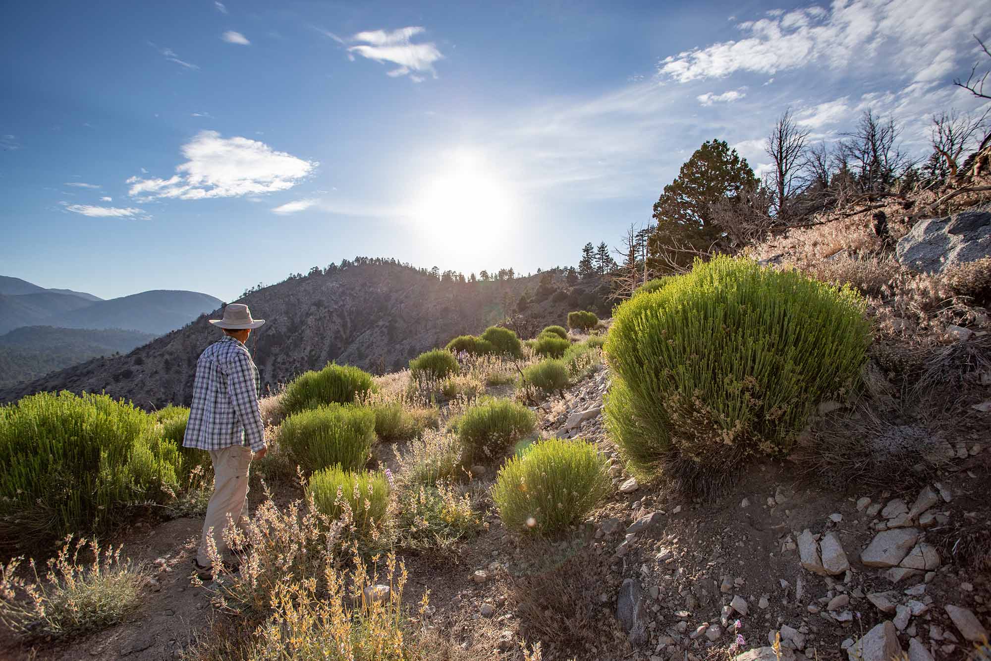
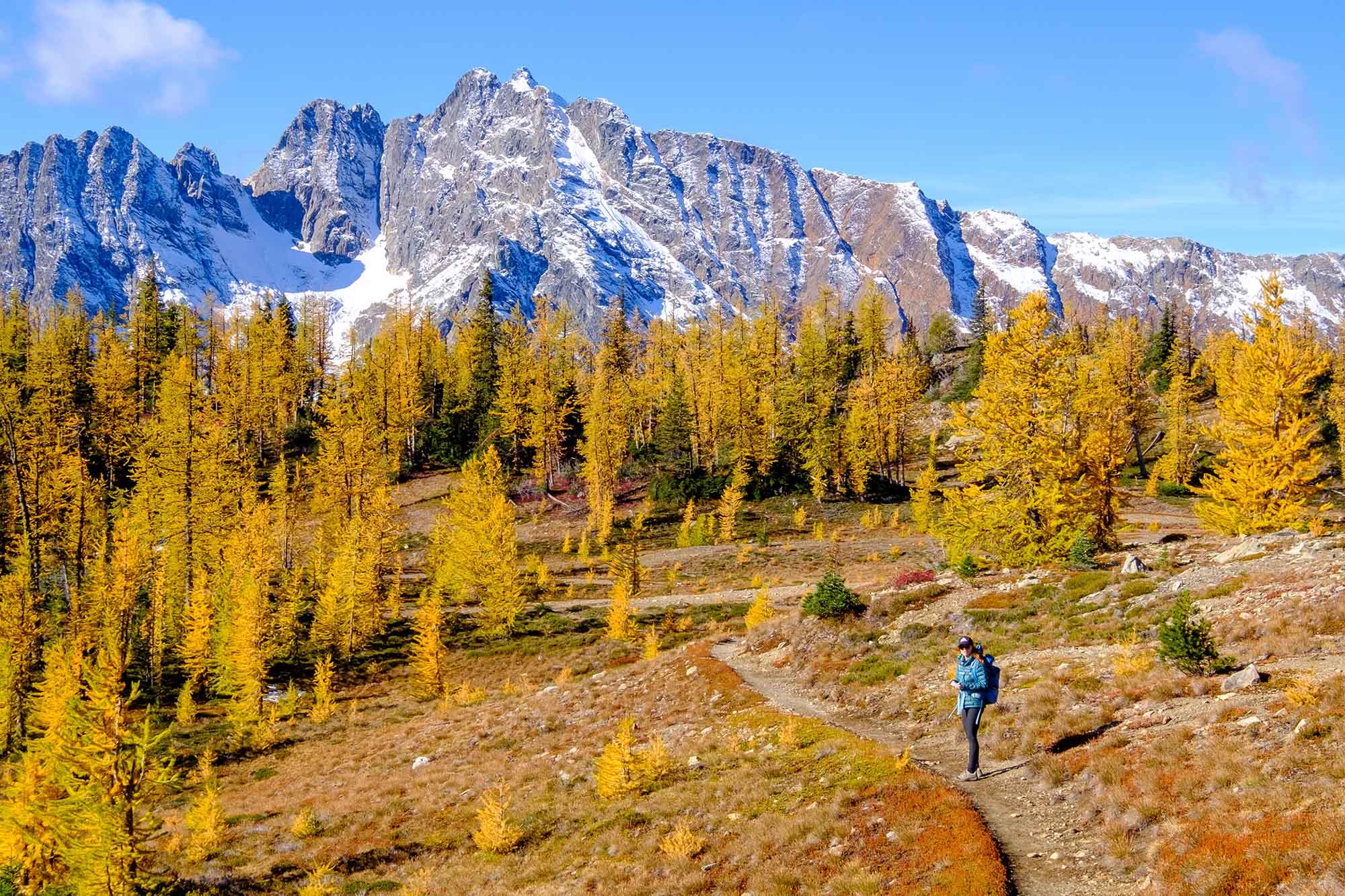
The Pacific Crest Trail is home to hundreds of scenic, five-star day hikes, and now it’s easier than ever to access them. The nonprofit Pacific Crest Trail Association just launched Explore, a free trip-planning tool to help day hikers experience the beauty of the PCT.
Explore offers multiple features to help hikers plan their journeys and aid them while they’re on the trail. It includes printable and downloadable maps, along with an interactive map of the entire 2,650-mile trail with points of interest. Let’s take a closer look.
To be clear, Explore is a website — not a downloadable app. If you’ve got cell service, you can use Explore. The tool sources trail information from the PCTA and its partner agencies, including the U.S. Forest Service and Bureau of Land Management, so users can likely trust its guidance.
When users click on a hike, they’ll see a lengthy description, details about trailhead access, stats on elevation gain, and notes about plant and wildlife. When users search for routes, they can filter by distance, elevation gain, amenities, and more.
Overwhelmed by the sheer number of trails? The site includes a curated list of 70 day hikes in California, Oregon, and Washington as selected by local PCTA volunteers and experts.
Explore vs. Popular Apps
Explore is a rare free resource for hikers. Popular apps for hikers include FarOut, a downloadable map service that charges users per map. For example, its map for the Oregon section of the PCT costs $15.
There’s also the premium version of GaiaGPS, which allows users to download maps offline. It costs $5 per month, while AllTrails‘ basic, offline version costs $3 per month.
Explore cannot be used offline, but it does have maps users can download as GPX or PDF files. What sets Explore apart from other map services is the expertise behind it, said Megan Wargo, CEO of the Pacific Crest Trail Association.
“This is coming from a place of love and stewardship of the trail, and it’s a resource that’s built by people at PCTA. It’s our job to love and care and connect people to the trail,” Wargo told GearJunkie. “Each trail description is written by someone who’s hiked it or who knows the area, and wants to help others experience it.”


The PCT for All
The PCTA designed the site for people who want to get on the PCT but aren’t thru-hikers, or who might happen to be near a trail town and want to spend an afternoon outside. While the PCTA already has many tools for thru-hikers on the trail, Explore is the nonprofit’s targeted effort to reach day hikers.
“This is a great tool for people to be able to connect to the trail and see what’s nearby,” Wargo said. “Explore is designed to welcome more people to the PCT,” Wargo said. “It’s about access, connection, and helping people find their own relationship with the trail — whether they have an hour or a whole day.”
Over time, the PCTA plans to add more day hikes and multiday or weekend backpacking trips to Explore, as well as details on other kinds of trail activities, including cross-country skiing and horseback riding. Whether you plan on visiting the PCT in the summer or winter, for a week or just a few hours, the PCTA and Explore aim to help you engage with one of America’s greatest trails.
Read the full article here


